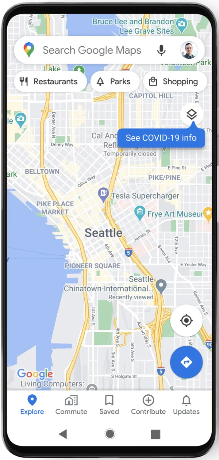
 Google Maps is an online service that provides geographic information and tools for navigation. It combines maps, satellite imagery, and street-level photography to create a representation of the world.
This tool can be used to find locations, understand the distance between places, and plan routes for travel. Just to bring it up, there used to be something printed paper maps that people buy.  |
 |
Understanding Scale and Distance
|
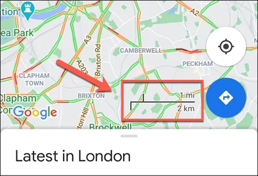
One function of Google Maps is to help visualize geographic scale. The map interface allows you to zoom in to see streets and buildings or zoom out to view continents and oceans. This change in perspective helps illustrate the relative size of different places.
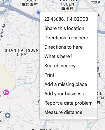
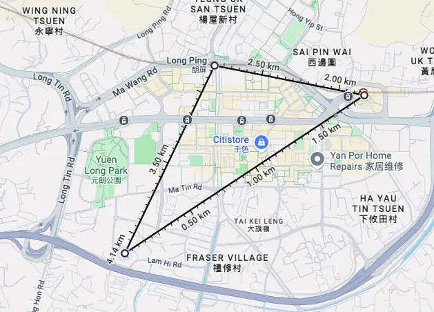
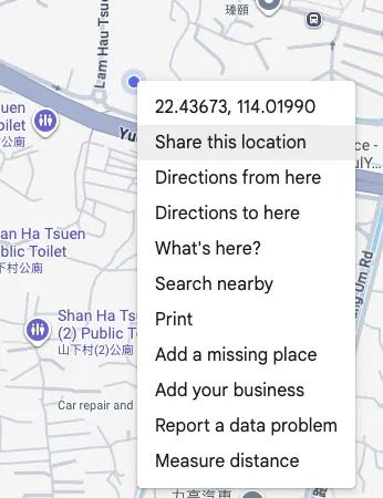
The "Measure distance" function lets you calculate the straight-line distance between any two points on the map. This can provide a sense of how far the waypoints and total distance are. |
 |
 |
 |
Exploring with Satellite and Street View
|
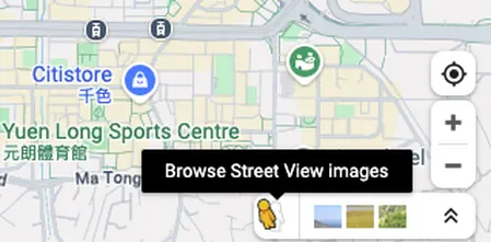
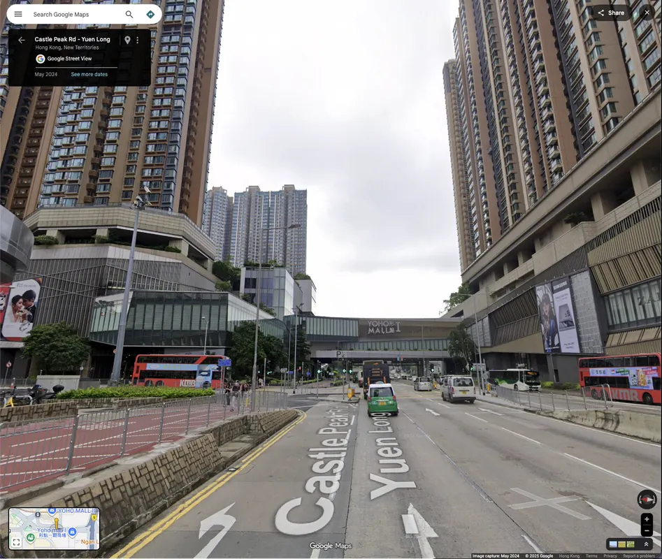
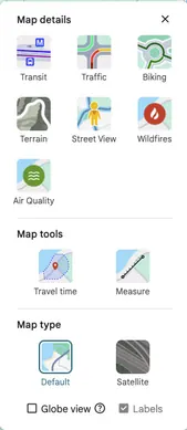
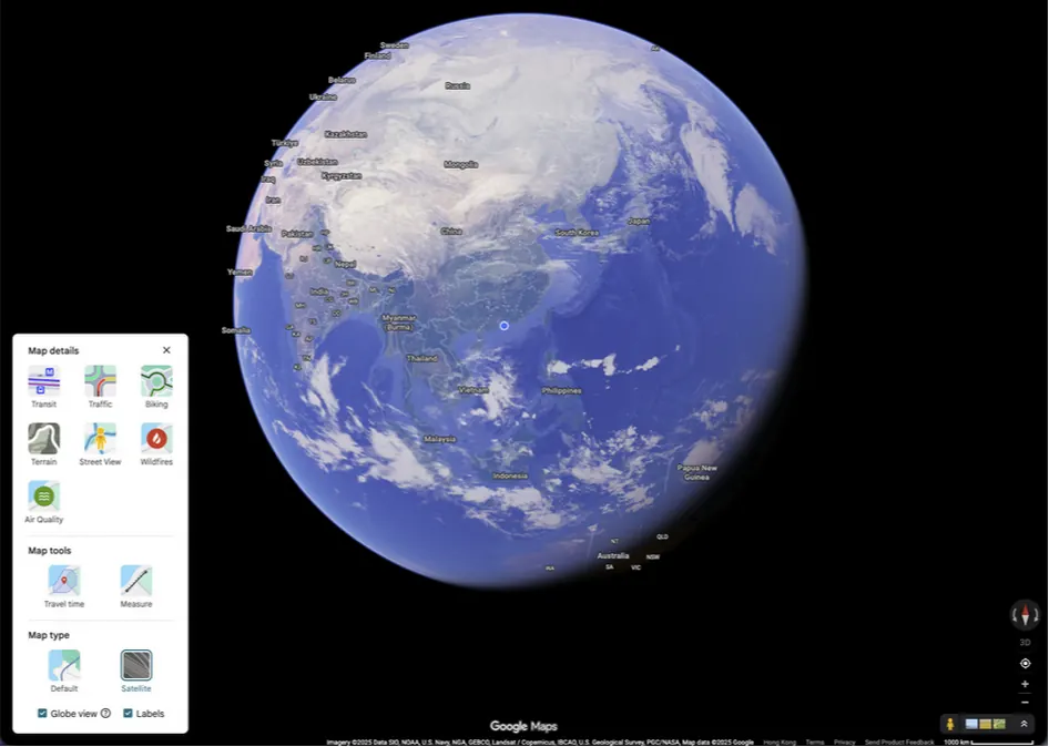
Beyond the standard map, two other views provide different ways to explore. Satellite view replaces drawn maps with photographic images of the Earth's surface taken from above. This can show the natural landscape, urban layout, and other geographic features. Street View provides ground-level, panoramic photographs of streets and neighborhoods. This allows you to virtually "stand" at a location and look around, which can be helpful for recognizing a destination before you arrive or exploring a distant place.
|
 |
Planning and Navigating Trips
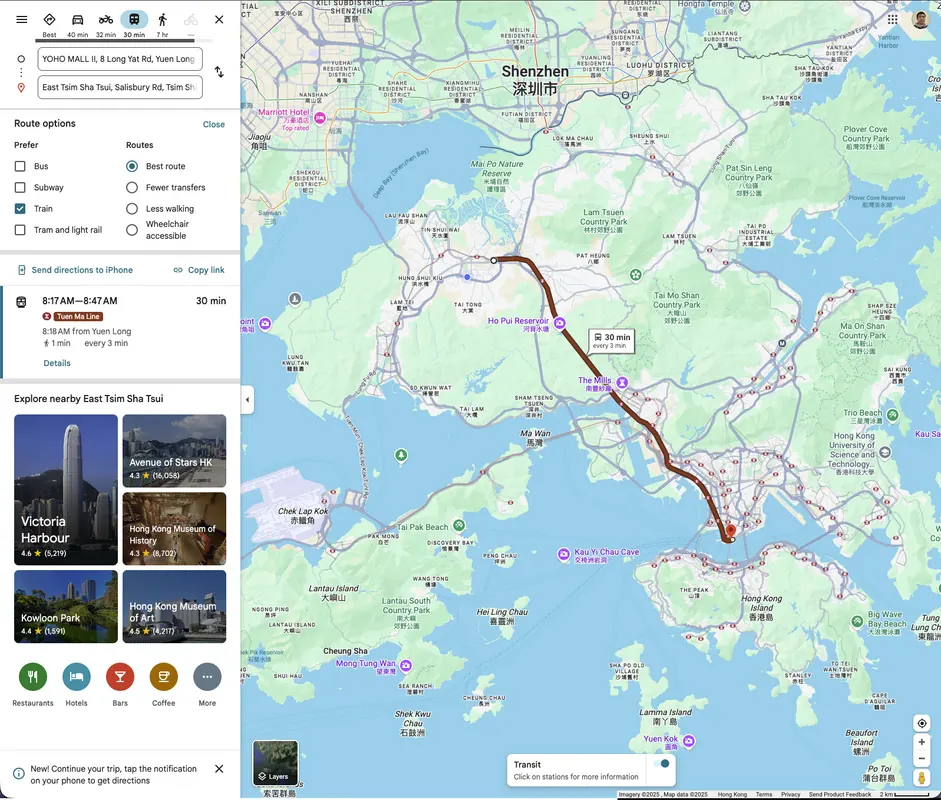
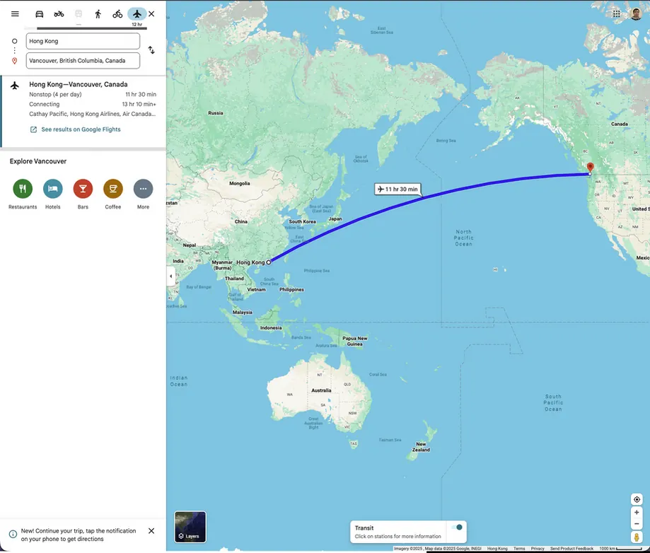
For practical travel, Google Maps offers route planning. You can enter a starting point and a destination, and the service will suggest different paths. These paths can be for driving, walking, cycling, or using public transportation. Each route shows the estimated travel time and distance. During navigation, the service provides turn-by-turn directions, which are spoken aloud and displayed on the screen. This feature helps travelers follow a predetermined path in real time, adjusting for traffic conditions when the route is set for driving.
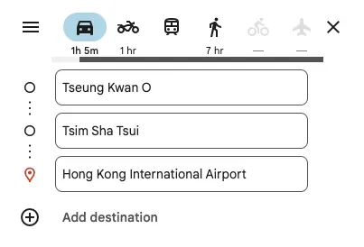
Planning Multi-Stop TripsFor more complex journeys, Google Maps allows you to plan a route with multiple stops. After entering your starting point and final destination, you can add additional locations as "stops" along the way. The service will then calculate a single route that includes all these points in an efficient order. This function is helpful for planning a day of errands or a road trip where you want to visit several specific places without having to re-enter addresses for each new leg of the journey.
|
 |
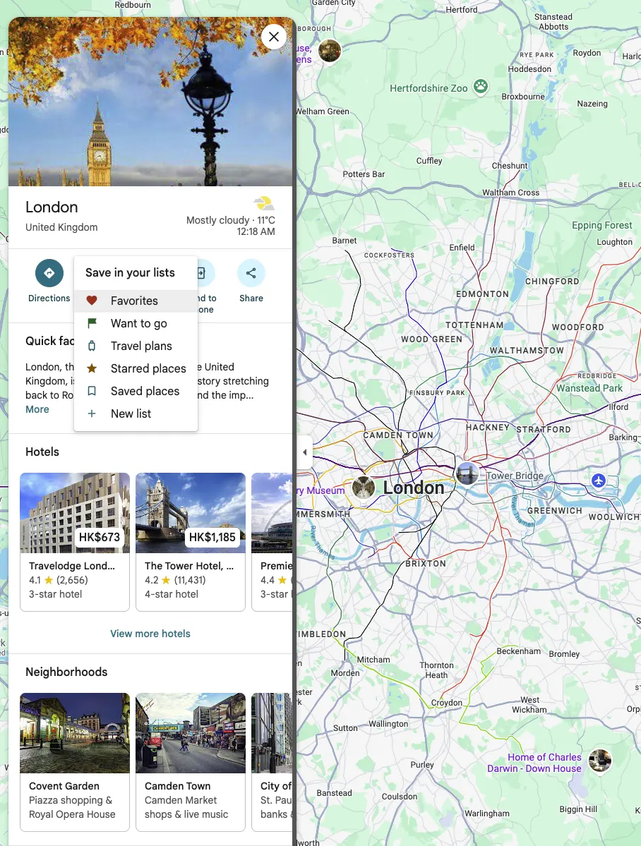
Saving and Organizing Places with ListsA useful feature in Google Maps is the ability to save locations. You can create custom lists, such as "Favorite Cafes" or "History Project Sites," to organize places you find. When you select a location on the map, you can choose "Save" and add it to a list. This helps you build a personal catalog of places for future trips or projects. You can also add labels or notes to these saved places to remind yourself why they are of interest.
|
 |
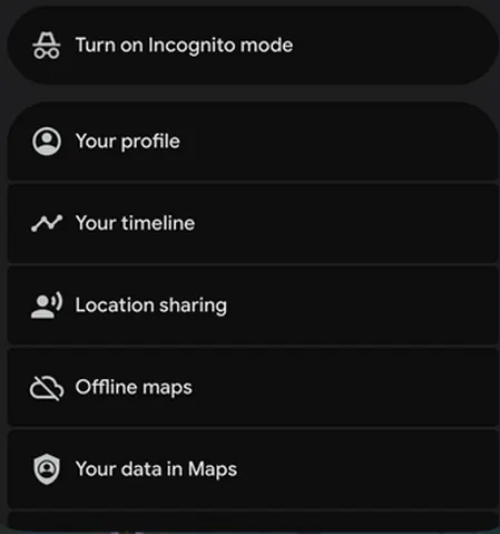
Using Maps OfflineAn important feature for travel is the ability to download maps for offline use. You can select a specific area of the map—such as a city or a national park—and download it to your device.
Once downloaded, you can view this map and get basic driving directions even without an internet connection. This is particularly helpful when traveling to areas with limited or expensive mobile data service. |
 |
Viewing Indoor Maps and Public Transport
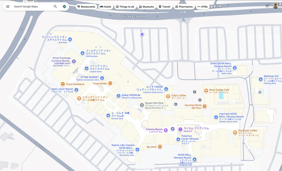
In some large venues like airports, shopping malls, and museums, Google Maps offers detailed indoor maps. These maps can show the layout of different floors, helping you locate specific stores, gates, or facilities like restrooms.
For navigating cities, the service provides detailed public transportation information, including bus and train routes, schedules, and fare estimates, which can help in planning trips without a car.
For navigating cities, the service provides detailed public transportation information, including bus and train routes, schedules, and fare estimates, which can help in planning trips without a car.
 |
 |
Sharing Your Real-Time Location
|
Google Maps includes a location-sharing feature. This allows you to share your real-time location from your device with selected contacts for a set period. This can be used to let family members know you have arrived safely at a destination or to help friends find you in a crowded place. You have control over who can see your location and for how long.
|
 |
Exercise:
The aerospace company requires you to pick up an important sample in Hong Kong and deliver it oversea.
Step 1:
From: Your current location
To: University of Hong Kong Faculty of Medicine
Arrive before: 1030 tomorrow
Step 2:
From: University of Hong Kong Faculty of Medicine
To: University of Belgrade - Faculty of Medicine
Arrive before: 2 days from now
Please arrange transportation accordingly and send out the screenshots of your itinerary.
Step 1:
From: Your current location
To: University of Hong Kong Faculty of Medicine
Arrive before: 1030 tomorrow
Step 2:
From: University of Hong Kong Faculty of Medicine
To: University of Belgrade - Faculty of Medicine
Arrive before: 2 days from now
Please arrange transportation accordingly and send out the screenshots of your itinerary.